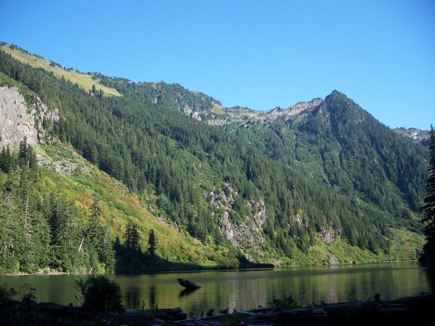
Goat Lake sits in a steep glacial valley surrounded by ridges and peaks that separate it from the historic Monte Cristo mine sites to the southwest and the North Fork Sauk watershed and Sloan Peak to the north.
There are two different trail options from the parking area. The lower is strictly for hiking and follows Elliot Creek to the Henry M Jackson wilderness boundary where the upper and lower trails merge. The upper trail is slightly longer and follows an old logging road which is suitable for a sturdy bicycle. Most riders will end up pushing their bikes most of the way up to the wilderness boundary (where your bike must stay) but the ride back to the parking area makes it worth it. There are plenty of established campsites available for those who wish to spend the night on the outlet end of the lake.
The lake has been recently stocked with Rainbow Trout and also has a population of naturally reproducing Eastern Brook Trout. There are limited angling opportunities from shore, a raft or flotation device could prove to be handy.
Getting here:
From Granite Falls follow the Mountain Loop Highway east for 31 miles to Barlow Pass and the end of the pavement. Continue for 3.5 miles, turning right onto Rd 4080 - Elliot Creek (From Darrington the turnoff is 19.5 miles along the Mountain Loop Highway.) Follow to the road end and trailhead for Elliott Creek #610 - New restrooms are at the trail head as of 2013.
Species you might catch
Lake information
County: Snohomish
Acreage: 58.40 ac.
Elevation: 3165 ft.
TRS: T29R11E SEC11
Center: 48.017787, -121.350916
Open in Google Maps
Fish stocking info
| Stock Date | Species | Number Released | Number of Fish Per Pound | Facility |
|---|---|---|---|---|
To view or download the source data for this table visit the WDFW Fish Plants dataset on the Washington State Open Data Portal
Fishing prospects calendar
Rainbow trout
Photos
